File:Mapa Powiatu olkuskiego 1867 - 1914.JPG
From WikiZagłębie
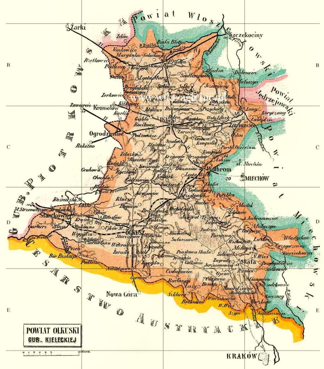
Size of this preview: 526 × 599 pixels. Other resolution: 1,083 × 1,234 pixels.
Original file (1,083 × 1,234 pixels, file size: 299 KB, MIME type: image/jpeg)
File history
Click on a date/time to view the file as it appeared at that time.
| Date/Time | Thumbnail | Dimensions | User | Comment | |
|---|---|---|---|---|---|
| current | 18:59, 10 July 2025 | | 1,083 × 1,234 (299 KB) | Dariusz JUREK | == Opis == Importing file |
File usage
Global file usage
The following other wikis use this file:
- Usage on srv93158_mediawiki
- Bolesław_(gm._Bolesław)
- Bukowno
- Gmina_Bolesław_(powiat_olkuski)
- Gmina_Klucze_(powiat_olkuski)
- Gmina_Pilica_(powiat_zawierciański)
- Jaroszowiec_(gm._Klucze)
- Klucze_(gm._Klucze)
- Olewin_(gm._Olkusz)
- Olkusz
- Pilica
- Powiat_zawierciański
- Rabsztyn_(gm._Olkusz)
- Sławków
- Wolbrom
- Zimnodół_(gm._Olkusz)
- Żarnowiec_(gm._Żarnowiec)
- Żurada_(gm._Olkusz)